

Third United Nations World Geospatial Information Congress (UNWGIC 2026)
About the event
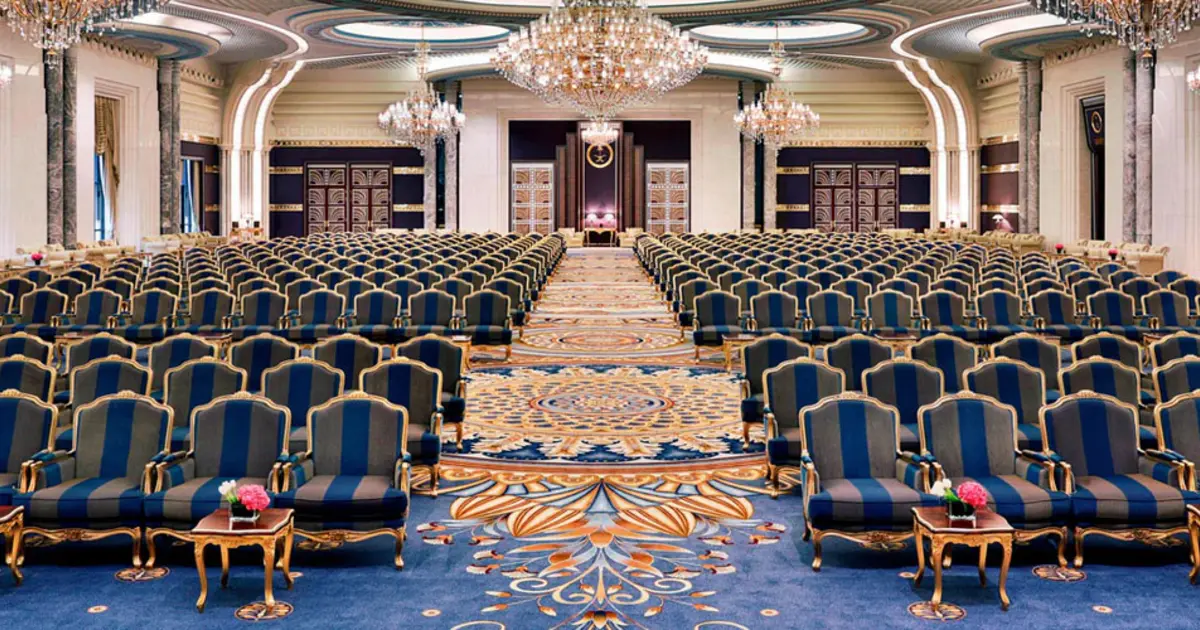
The Third United Nations World Geospatial Information Congress takes place from 16 to 19 November 2026 at The Ritz-Carlton Jeddah on the Southern Corniche, under the theme Navigating the Next Frontier: Embracing the Digital Renaissance and a New Geospatial Paradigm. It is convened by the United Nations Committee of Experts on Global Geospatial Information Management, organised by the United Nations Statistics Division, and hosted by the Kingdom of Saudi Arabia through the General Authority for Survey and Geospatial Information. The Congress is held once every four years, and its working language is English.
The programme runs across four days, each with its own focus: vision, governance and values on day one; integration, interoperability and knowledge systems on day two; technology, artificial intelligence and innovation on day three; and partnerships and pathways for the future on day four. Six parallel tracks branch from it, covering governance and legal safeguards for AI-driven geospatial systems; the integration of geospatial with statistical, environmental, social and economic data; cloud platforms, automation and digital twins; community and indigenous knowledge and human oversight of AI models; the United Nations Integrated Geospatial Information Framework and its financing models; and regional, sub-regional and thematic priorities. It is open to governments, international and regional organisations, geospatial societies, universities and research institutions, the private sector and civil society.
There is no registration fee. Participation follows two steps: a request to participate submitted through the registration system and reviewed by the Committee secretariat, then full registration once the request is accepted, after which a confirmation of participation letter is issued that can also support a visa application. Requests close on 1 October 2026. On-site registration is completed at dedicated counters that open one day before the Congress and run throughout it. The organiser expects more than 1,800 participants from over 120 countries at ministerial and senior leadership level, and an outcome document setting out the shift in global geospatial information management for the coming decade.
Agenda
4- Day 1 · 16 November
- The Vision — A Digital Geospatial RenaissanceReimagining geospatial information for people, prosperity, planet and peace, with an emphasis on vision, values and national and global priorities, and on establishing geospatial information as foundational digital public infrastructure and a global public good for effective and responsible governance.
- Day 2 · 17 November
- The Integration — Model, Decide, ManageTransitioning to insights on demand for impactful policies, decisions and actions, with an emphasis on integration and operational transformation: bringing geospatial, environmental, demographic, economic and statistical data together for effective decision-making.
- Day 3 · 18 November
- The Innovation — Responsible, People-centric and AI-enabledLeveraging responsible innovation and disruption to sustain the geospatial renaissance, with an emphasis on emerging technologies and on the responsible deployment of artificial intelligence tailored to national circumstances and global impact.
- Day 4 · 19 November
- The Future — The Age of Deep Learning and Artificial IntelligencePrioritising local knowledge and local action with global solidarity and a consensus framework, with an emphasis on partnerships, pathways for the future and scaling national, regional and global collaboration, including with the next generation and under-represented groups.